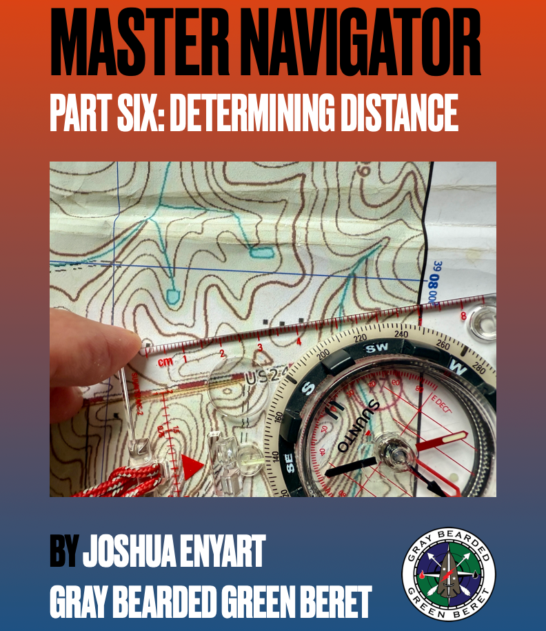
Determining Distance PDF (Master Navigator Series – Part Six)
Determining Distance PDF (Master Navigator Series – Part Six)
Couldn't load pickup availability
Product Highlights
Product Highlights
Sixth in a ten-part land navigation series designed for real-world mastery
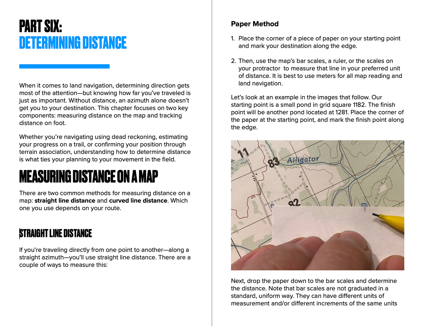
Learn to measure map distances using both straight and curved line methods
Understand pace count systems and calibrate yours for accuracy
Covers terrain-based variations in movement and their effects on stride
Field-ready techniques taught by a Green Beret and Army Ranger
Vital for survivalists, rescue teams, backcountry travelers, and tactical professionals
Measure With Precision. Navigate With Confidence.
Master Navigator Part 6: Determining Distance sharpens your ability to plan and track movement in the field by teaching accurate distance measurement techniques. In this sixth guide of the 10-part series by Joshua Enyart, the Gray Bearded Green Beret, you’ll learn how to determine how far you have to go—and how far you’ve come—whether you’re plotting a route or walking a mission-critical azimuth.
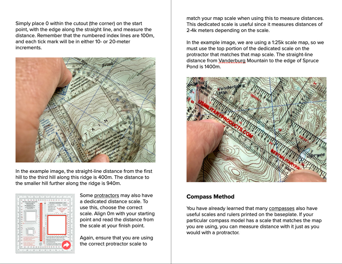
Using proven methods from the military and survival communities, this guide teaches how to measure straight-line and curved-line distances on a topographic map. You’ll also gain practical insight into pace count calibration and tracking—an essential component of land navigation when terrain, stress, or loss of visibility complicates your movement.
Step Off Like an Operator
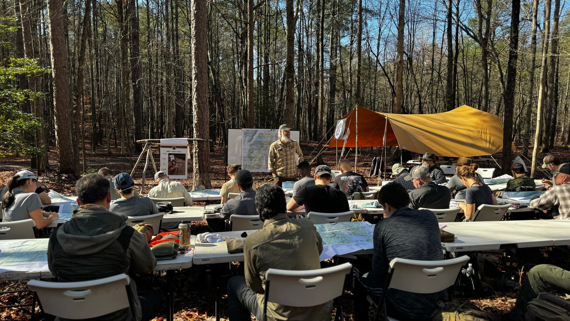
Joshua Enyart walks you through the field-tested techniques used to accurately track movement through varied terrain. You’ll learn to use bar scales, compass rulers, protractors, and pace beads to measure both map and ground distances. You’ll also discover how to establish your personal pace count—including how terrain and loadout can impact your stride.
Whether you’re navigating through rugged wilderness or operating in a low-visibility tactical environment, this guide gives you the tools and systems to maintain awareness of your position every step of the way.
Key Features
- Sixth in a ten-part land navigation series designed for real-world mastery
- Learn to measure map distances using both straight and curved line methods
- Understand pace count systems and calibrate yours for accuracy
- Covers terrain-based variations in movement and their effects on stride
- Field-ready techniques taught by a Green Beret and Army Ranger
- Vital for survivalists, rescue teams, backcountry travelers, and tactical professionals
Share
