Elevation and Relief PDF (Master Navigator Series – Part Three)
Elevation and Relief PDF (Master Navigator Series – Part Three)
Couldn't load pickup availability
Product Highlights
Product Highlights
Third in a ten-part series for structured, progressive land navigation mastery
Teaches how to understand elevation and relief through contour lines and intervals
Learn the three types of contour lines: Index, Intermediate, and Supplementary
Estimate elevation of hills, depressions, and terrain features with accuracy
Build critical terrain association skills for both planning and movement
Developed and taught by a former Green Beret and Army Ranger
Designed for survivalists, preppers, tactical professionals, and wilderness travelers
See the Ground Before You Touch It
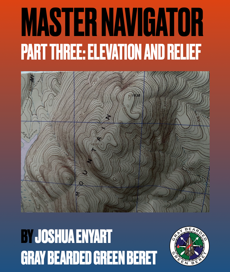
Master Navigator Part 3: Elevation and Relief is your next step toward terrain mastery in the 10-part digital PDF series by Joshua Enyart, the Gray Bearded Green Beret. This guide teaches you to read, understand, and visualize terrain through topographic contour lines—empowering you to “see” elevation changes and landform structure from a flat sheet of paper.
This isn’t just theory—it’s a battlefield-tested skill used by elite operators, SAR teams, and seasoned outdoorsmen to navigate rugged and unpredictable terrain with confidence. You’ll learn to identify hills, valleys, ridges, and depressions at a glance, assess slope steepness, and estimate elevation with pinpoint accuracy.
Train with Precision. Navigate with Purpose.
Joshua Enyart draws from decades of Special Operations experience to teach how contour lines work, how to read elevation from them, and how to distinguish between key terrain features. You'll also learn how to calculate elevations between contours and recognize common mapping elements like spot elevations, benchmarks, and relief shading.
This guide is essential for transitioning from reading a map to interpreting terrain—and that skill can save your life when GPS fails, visibility is poor, or your mission demands stealth and certainty.
Key Features
- Third in a ten-part series for structured, progressive land navigation mastery
- Teaches how to understand elevation and relief through contour lines and intervals
- Learn the three types of contour lines: Index, Intermediate, and Supplementary
- Estimate elevation of hills, depressions, and terrain features with accuracy
- Build critical terrain association skills for both planning and movement
- Developed and taught by a former Green Beret and Army Ranger
- Designed for survivalists, preppers, tactical professionals, and wilderness travelers
Share
